Nature/ Scenic

Konkan Darshan

Location

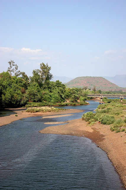
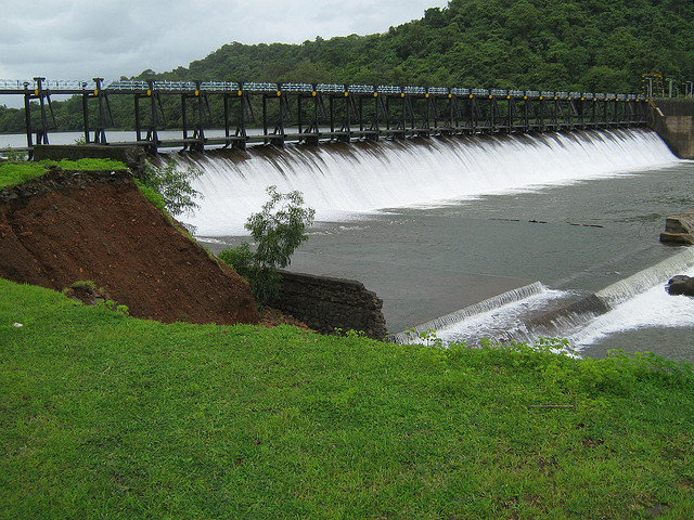
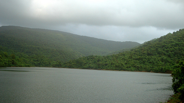
Konkan is the inshore strip in western India. It stretches from north to south of Maharashtra state and ends in Goa. The Konkan Darshan is characterized by white sand beaches and very clean sea water.

Palm trees, rice paddy fields, spiritual places and thin population make this place an ideal beach vacation. Konkan railway connections and good road conveyance is altering the tourism value of Konkan.

Vashisti River Jetty

Location

The Vashisti River is one of the largest rivers along the Konkan coast and eventually feeds into the Arabian Sea. The jetty on this river is famous for motor boat rides when there is sufficient amount of water level - monsoon and post-monsoon months.

Fishing can be done in the river and crocodiles can also be spotted here. Picnics and outings are often organized on the banks of the river well fenced and guarded from the water.

Vashishti River

Location

Vashishti river is one of the largest rivers in the Konkan coast. The river originates from the west part of the western ghats. Boating is a pleasant sport, enjoyed by the visitors and tourists of this place. Fishing is also a famous sport of the river, and crocodiles can be seen on the river occasionally.

Beginning at the western ghats, the river flows westwards into the Arabian Sea at Dabhol. Various tributaries which join the river at Khed and other places can also be seen. Many riverine islands can be seen near the river. The town Chiplun lies on the banks of the river.

Koyna Dam and Reservoir

Location

Koyna Dam and Reservoir: The Koyna Dam is one of the largest dams in Maharshhtra situated in Koyna Nagar in the western ghats between the towns of Chiplun and Karad. Completed in 1963, the dam has helped create a reservoir that is almost 70 kms long reaching all the way up to Mahableshwar and has resulted in the formation of the backwaters of Shivsagar Lake.

The dam is the main source of water to western Maharashtra and helps to produce cheap hydroelectric power. Sweet water fish can be found here in plently.

The project of Koyna has altogether four dams of which Koyna has the biggest catchment area.

Bordi Beach

Location

Bordi Beach is a very safe beach - the water does not rise above the waist for half a kilometre. The entire stretch of the beach from Dhanu to Bordi is beautiful. It has a backdrop of orchards of different fruits, the main ones being chikoo. Bordi Beach is one of the main attractions at Bordi. The beach is a 17 km stretch of un-spoilt beach surrounded by casuarinas trees and chickoo orchards in the backdrop. The water here can recede for miles during the low tide. The beach is quite safe for swimming even though there are no life guards here.

Depchari Dam and Reservoir

Location

The Depchari dam and reservoir is a tranquil and big lake. It is much bigger than the Asavli lake, however it is far more peaceful that Asavli. It is rare to see anybody wandering here, making it feel very serene. The lake is surround by trees and has a lush feel to it.

The Depchari Dam and Reservoir is a big lake. It is bigger in dimension than that of the Asavli dam. The surroundings of the Depchari Dam and Reservoir is calm and peaceful. No souls can be seen around the dam as in Asavli.

Asavli Dam

Location

Asavli Dam: Asavli Dam is a popular picnic spot. It is surrounded by a green lake and mountains on one side and fields on the other. The dam was built manually in the same way as the Great Pyramids of Egypt. It is best visited during the monsoons.

The Asavli Dam is on a green lake surrounded by mountains on one side. On the other side of the dam are waste weir fields. As the Great Pyramids of Egypt, this dam was also manually built.

Bahrot Caves

Location

20km from Sanjaan, at a height of 1500ft is the Bahrot Mountain. In 1351 during the Muslim invasion, Zoroastrians hid in these mountains for 13 years. The Zoroastrians brought the holy Iranshah flame along with them when they went into hiding. The fire has been burning in the cave since then. Many people go to the caves to pay their respects to these ancestors.

Bahrot mountain is 1500 feet high. It is located 20 km south of Sanjaan. The brave Zarathosti ancestors hid themselves from the Muslim invaders among these mountains. They were in hiding for 13 long years. This incident took place in the year 1351 AD. The ‘Iranshah Flame’ was also taken by the Zarathosti to Bahrot.

Nagphani Tok (point) / Serpent's hood

Location

This is the highest and the best point in the Bhimashankar area. From the car parking area walk on the cart track to Hanuman temple (1km. - 20mins). At the entrance of the temple there is a board indicating the direction to Nagphani. There are a few houses around the temple. From the temple it is another 20mins. uphill trek. This place has derived its name from the fact that it looks like the hood of a Cobra. Hence the name Nagphani. (Nag = Snake i.e. Cobra; Phani = Hood).