Nature/ Scenic

Haldibari

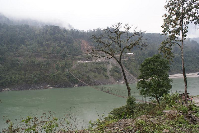
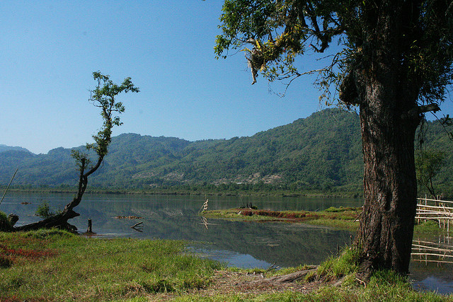
Haldibari is a forest department designated campsite, which is located 3 km away from Deban. Originally known as the permanent forest department patrolling camp, the site is known for bird watching and wildlife spotting, like minivets and orioles. Other bird species that can be seen are snowy-throated babblers, pale-headed woodpecker and blue-naped pitta.

Deban

Deban, situated on the north bank of the Dihing River, is the main tourist attraction in Namdapha National Park. Serving as the headquarters of the forest department in Namdapha, Deban is the only site in the entire park where permanent accommodation can be found. It is a popular birdwatching spot, where tourists can see white-bellied Heron and Ibisbill. Additionally, primates like gibbons and capped langur can also be seen.

Moti Jheel

Moti Jheel, located in the buffer zone of Namdapha National Park, is a small natural pool. Located in Gibbon’s Land, the pool can be approached via the path, which runs through deciduous and semi-evergreen forests. While walking on the path leading to the pool, tourists can catch glimpse of birds like green cochoa and rufous-throated fulvetta. Tourists can also see gibbons, capped langur and Malayan giant squirrels.

Lake of No Return

Location

The popular lake with a unique name,Lake of No Return is visible from Pangsau Pass, which is 12 km from the region of Nampong. This lake proved to be a soft landing for the fighter planes that were hit in the war by the enemy planes. Most of the planes were perished here, because of which the Lake got the name as ‘Lake of No Returns’.Pilots at that time used this lake as a soft spot for emergency landing

R.R Hill

Location

R.R Hill, the highest point at Bomdila, is also one of the major tourist attractions of the region. From this place, tourists can see the road leading to Tawang along with the one that leads to Bhutan border.

Kibithoo

Location

Kibithoo, a small town, is a Circle Headquarter and is famous for numerous rivulets and waterfalls. Situated on the right bank of River Lohit, Kibithoo is located at an elevation of about 1,305 m above the sea level. The town lies in proximity to the India-China border and has witnessed the war of 1962 that took place between India and China.

Surrounded by mountain peaks ranging from 10,000 ft to 16,000 ft, Kibithoo has various wild rash berries, pine forests and beautiful flowers. Moreover, a 30 KW Micro-Hydel Electricity Project has been commissioned in this town.

Dong

Location

Dong is a small village and witnesses the earliest sunrise in the country. Situated on the left bank of the Lohit River, Dong is surrounded by pine forests and snow-capped mountains. This village is connected with a suspension bridge built over the Lohit River and is 7 km from Walong. Besides, tourists can also witness the rich cultural heritage of the village as the Meyor communities live in majority.

Chaglogam

Location

Chaglogam is situated on the left side of the Dalai River and is another Circle Headquarter. Situated at an elevation of 1,258 m above the sea level, Tezu is visited for activities like angling, trekking, mountaineering and rafting.