Nature/ Scenic

Chamba Town

Location

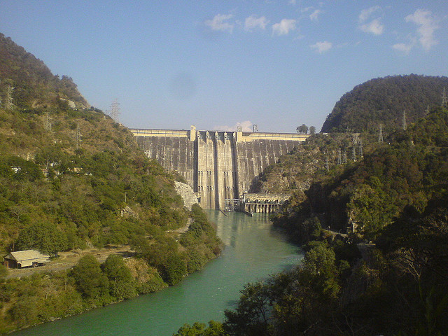
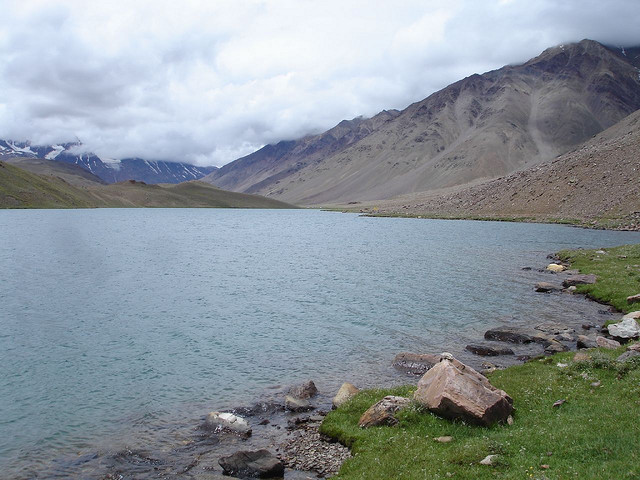
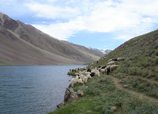
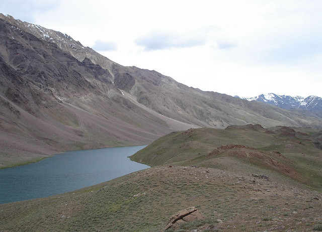
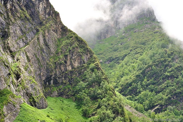
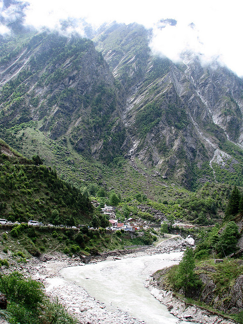
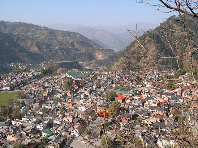
Located on the banks of the Ravi river the township resembles an Italian village fortress. The weather of Chamba is always pleasant, not too cold and not too hot because of its typical height of 1006 meters from mean sea level. A gentle cool breeze is refreshing the whole town at intervals. There are many famous places around Chamba Town. Chamba is known for its streams, meadows, temples, paintings, rumal ( handkerchief ) and lakes. Chamba Town sometimes experiences snowfall during winter that adds to the beauty of Chamba Town. The people of Chamba are very helpful and innocent.

Bhakra Dam

Bhakra Dam: Situated at Bhakra village of Bilaspur, about 13 km upstream from Nangal township, it is one of the highest straight gravity dams in the world. The lake is about 90 km long covering an area of about 168 sq km of which 90 percent is in Bilaspur and 10 percent in Una district.The dam was dedicated to nation by late Pt. Jwahar Lal Nehru on November 20th, 1963. The view of vast dam and green jungles around is fascinating indeed.

Choordhar Mountains

Location

Trekking to Choordhar Mountains with all its pine trees is delightful and provides you with some excellent view. These mountains are 3,650 m high and its peak is known as Choor Chandni Peak because in a moonlit night, it seems as if several silver bangles are sliding down its slope.

Kunzum Pass

Location

Kunzum Pass, at an altitude of 4590 m, extends from Spiti to Lahaul. Apart from the magnificent view of the surrounding areas, you can also see a temple at the top of the pass which is dedicated to Goddess Durga. On your way to this pass, also enjoy the awesome beauty of the second longest glacier in the world, Bara-Sigri glacier.

As Rohtang pass is a gateway to Lahaul so Kunzum pass (4590 m) is the gateway to Spiti from Kulu & Lahaul. After crossing Rohtang pass and driving 20kms, one has to turn right from Gramphoo. While going to this pass, the panoramic view of Bara-Sigri glacier (second longest glacier in the world) is enthrilling and inspiring.

http://www.flickr.com/photos/mo-pop/6557226477/in/photostream
http://www.flickr.com/photos/felixdance/5175158561/in/photostream

Chandra Tal

Location

At an altitude of 4300 metres and 6 k.m. from the Kunzum Pass in Lahaul & Spiti district that connects Spiti Chander Tal Lake and Lahaul areas.
Surrounded by snows and acres of scree, this deep blue-water lake has a circumference of 2.5 k.m. This is the source of the river Chandra. According to some believers, this is the spot from where the god Indra's chariot took the eldest Pandava brother, Yudhishtra to 'swarga' (heaven) in his mortal form.

http://www.flickr.com/photos/lenchik/218422698/in/set-72157604258519259
http://www.flickr.com/photos/lenchik/218422935/in/set-72157604258519259
http://www.flickr.com/photos/lenchik/218418495/in/set-72157604258519259
http://www.flickr.com/photos/lenchik/218416842/in/set-72157604258519259

Tani Jubber Lake

Location

The Tani Jubber Lake is placed among the scenic surroundings of Thanedar nearly 4km away. The beautiful squinty lake lies between the snow-covered mountains in the backdrop of lusting greenery and apple orchards. The lake is the home for many kinds of birds. Naturally beautiful lake is a good place to pay a visit. The lakeside is famous for the 'Nag Devta' temple in Thanedar, where many devotees offer their prayers to the serpent god. There is another local temple on the side of the lake, which is open to only locals.

Valley of Flowers National Park

The stunningly beautiful Valley of Flowers is a high-altitude National Park in the upper reaches of Garhwal mountain range in Uttarakhand.

Inaccessible through much of the year, the valley comes to life after the snows have melted and the monsoon have arrived. Approximately 500 species of flowers carpet the ~88 sq km park for miles on end. Adding to its beauty, the park is surrounded by snow-capped Himalayan mountains of the Zanskar range.

The Valley of Flowers was declared a National Park in 1982 and is recognised as a World Heritage Site (UNESCO).

Mirik Lake

Location

The beautiful 1.25 km long lake is the most attractive spot of the Mirik Tourism Project. The depth of lake water varies from a minimum of 3 ft. to maximum of 26 ft. The walks on the 3.5 km. long promenade around the lake is a fascinating one. The 80ft. long arch-type overbridge across the lake is a wonderful engineering skill of the project. Arrangements of fishing in the lake is being implemented soon.