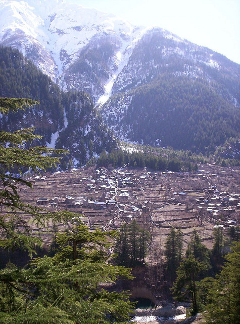
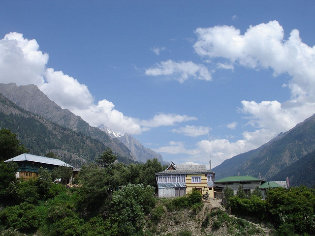
If a landscape had the powers of casting spells, then the Sangla valley would be a magician extraordinary. Once seen, it is a place that can never be forgotten. Even the rushing waters of the Baspa river, that flow through its 95 km length, seem to absorb some of the magic and slow down to savor its snow-frame beauty. 2 km from Sangla is the fort of Kamru (300 m) its tower like architecture resembles that of the Bhima Kali complex and this was the origin of rulers of Bushehar. Chitkul (3450 m) is the last village of the valley and beyond lies Tibet.
Sangla Valley, 54 kms from Sarahan, is named after Sangla the most populated village in the valley situated on the banks of Baspa river. Small stream rivulets, formed by melted snow flowing down the mountainside join the Baspa river which adds the magnificence of the scenery along with saffron fields and alpine meadows. From here one can see he Kinner Kailash peak.
Chitkul is the village at the highest point in the Sangla Valley and the path leading to is a difficult terrain. There are three temples here dedicated to local goddess Mathi of which the main temple is believed to have been built around 500 years ago
Kamru Fort was an important bastion of the Rajas of Rampur Bushahr when they ruled in the Sangla valley.
Located here also is the Kamakshi Temple where the coronation ceremony of the rajas was conducted. The idol of the temple was brought from Kamakhya Temple of Guwahati.
http://www.flickr.com/photos/rahuljyoung/8408003/
http://www.flickr.com/photos/lenchik/197319892/in/set-72157604258519259