A Place Between Castles
It is the second largest town in Ladakh after Leh.[1] It is located 60 km and 204 km from Drass and Srinagar to the west respectively, 234 km from Leh to the east, 240 km from Padum to the southeast and 1,047 km to Delhi in the south.
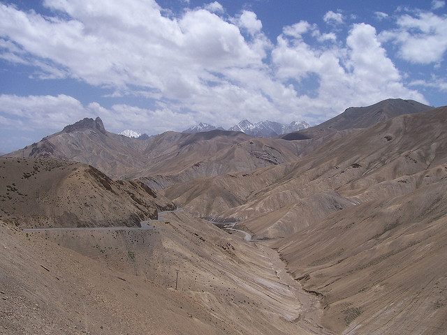
Located in the centre of the Himalayan region with the most pleasing natural beauty, majestic hills and tremendous potential for adventure activities, Kargil is the second largest urban centre of Ladakh. It is situated at an altitude of about 2704 m, and 204 km from Srinagar in the west and 234 km from Leh in the east. The town is nestled along the rising hillside of the Suru basin. It is the confluence point of the Drass and Wakha tributaries of the Suru River.
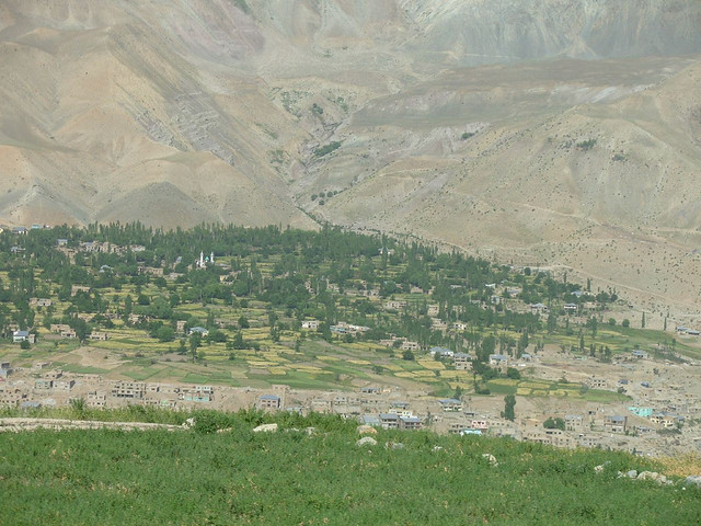
Kargil, the second town of Ladakh, is situated on the Suru River which flows at around 10,000 feet hight. Two other rivers that meet here are Drass and Wakha Chu. Visible all around are lush green fields of barley and wheat, vegetable beds and rows of poplars and willows. A quiet town today Kargil was once witness to the most hectic bartering among traders of different faiths and nationalities. Hundreds of caravans carrying silks, ivory, carpets and precious stones to and from China, Turkey, Yarkand, Afghanistan and India, passed through the town.
This area lies just behind the Zoji La Pass, and the center is Kargil, a small town with cobbled streets surrounded by apricot groves. Good panoramas of the Himalaya can be obtained on 03-04 day treks from Sanko to Drass via Umba, and on the more demanding Sanko to Mulbek via the Wakka La Pass at 4,930m.
Kargil is famous for its apricots and mulberries. June presents a rare sight of fragrant white apricot blossoms while in August, the ripening fruit lends the countryside an orange hue. Tourists to Leh by road make a night halt at Kargil before starting on the second leg of the journey.
Kargil is a district of Ladakh, Kashmir, India. Kargil lies near the Line of Control facing Pakistan-administered Kashmir's Baltistan to the west, and Kashmir valley to the south. Zanskar is part of Kargil district along with Suru, Wakha and Dras valleys. Kargil was at the center of a conflict between India and Pakistan in 1999.
The western parts of Ladakh comprising the river valleys, which are drained and formed by the Himalayan tributaries of the high Indus, constitute Kargil district. It is the second largest town in Ladakh after Leh. It is located 60 km and 204 km from Drass and Srinagar to the west respectively, 234 km from Leh to the east, 240 km from Padum to the southeast and 1,047 km to Delhi in the south.
Prominent among these are the spectacular valleys of Suru and Zanskar, which lie nestled along the northern flank of the Great Himalayan wall. The smaller lateral valleys of Drass, Wakha-Mulbek and Chiktan constitute important subsidiaries.
Image Credit:
http://www.flickr.com/photos/wribs/856325521/
http://www.flickr.com/photos/madpai/249374150/in/set-72157594287392884


