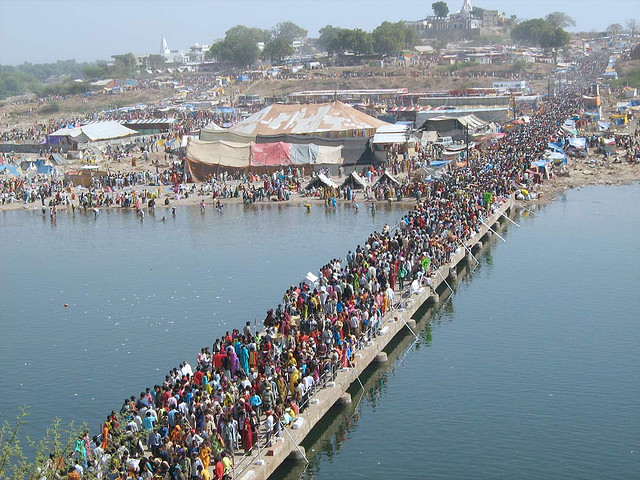
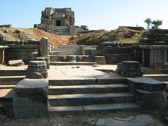
Banswara, literally "the forest country", was a Rajput feudatory state in Rajputana during British India. It derived its name from bans or bamboo shoots, which once grew in abundance around the places. The town has some Jain and Hindu temples and old mosques.


The district is named after the former Princely State of Banswara. There are two traditions regarding the etymology of Banswara. According to one tradition, it is derived from the name of the Bhil chief Bansia who ruled over this area before being killed by Maharaval Jagmal Singh in 1529 CE. According to the other tradition, the name is derived from the Bans Vara (the country of bamboos) due to the abundance of bamboos in the dense forests of this region.
Air
Nearest airport is Udaipur (160 kms) and airport in Indore (212 kms)
Rail
Rail Nearest railway station is in Ratlam (Madhya Pradesh) (80 kms) connected with all the major cities of the country.
Road
No route in the district has so far been nationalised. Rajasthan, Gujarat and M.P. Roadways and the private travel agencies operate frequent buses to major cities like Ahmadabad, Baroda, Ujjain, Bhopa, Udaipur, Jaipur, Jodhpur, Mount Abu, Bombay, Delhi etc.
