Nature/ Scenic

Ulsoor Lake

Location

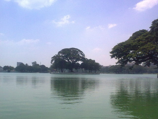
Ulsoor lake is centrally located. It is spread over an area of 1.5 sq km. The lake in its early years was known as "Halsur" or "Alasur".

The lake dates back to the time of Kempe Gowda I and II. There are 2 springs which exists at the bottom of the lake. These springs are now covered with heavy silt.

The then Commissioner of Bangalore Sir Lewin Bentham Bowring constructed the lake. The lake is a famous tourist spot. It is not fit for swimming. But one can go for boating in the lake.

Image Credit:
Pearl Valley (Muthyala Maduvu)

Location

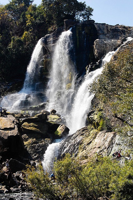
Muthyala Maduvu which means pearl valley is a picnic spot with a captivating waterfall. The attraction of the spot is the waterfalls which is formed by thin jets of water which gushes down from a height of 90 meters. The jets of water form a pond giving it the notion of pearls.

The Pearl Valley is 40 kms away from Bangalore. At the bottom of the valley lots of rocks under shady trees can be seen. A waterfall from the rocky side of the valley is visible. People can be seen splashing around in the little pool which is at the bottom of the fall.

Chunchi Falls

Location

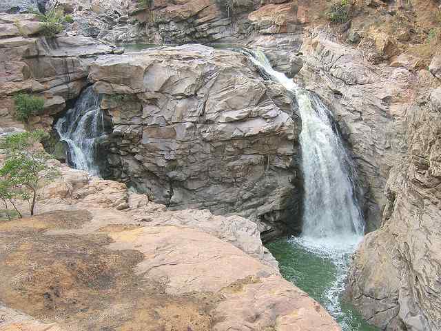
The city bursts in natural grandeur, and that is evident in the showers of the colorful Chunchi Falls. The falls is settled 90 km away from Bangalore city. It is 16 km before the Sangama and is located in the Kanakapura taluk.

The waterfall is nestled among the amazing ranges of rocks on the banks of the River Arkavati. It is located on the way to Yelehalli from Sangam. One can reach to Chunchi falls from Kanakapura. The waterfall is in the backdrop of scenic settings and it offers eye catching panoramic views of the surroundings.

The waterfall has quicksilver flow of gleaming ripples and is placed in an exquisite rocky valley. It is surrounded by dense and green forests. The falls is a popular picnic spots.

Ravanphadi Cave

Location

Located south-east of the Hucchimalli Temple, this rock-cut temple is assigned to the 6th century. The sanctum is larger than those in Badami cave temples and it is provided with a vestibule flanked by carved panels, entered through a triple entrance. Despite the variety of images found here, the Mahishasuramardhini, the great Dancing Shiva linga with Ganesha and sapta-matrikas and the linga inside the sanctum an overall Shiva application. The 6th century cave temple is dedicated to Shiva. A broken column lines up with the cave entrance, which opens to the southwest.

Doddabale Siddaragudda Peak

Location

The Doddabale Siddaragudda Peak, which is 5,500 feet high, has amazing views of its surroundings. One can view the Bhadra Lake and Lakeville Dam to the south and the Yemmedoddi village to its west and the Baba Budanagiri range of hills. The climb to the the top passes through many coffee plantations and forest. Trekking combined with rock climbing can be enjoyed on the way up.

It is advisable to take a guide on this trek as one can easily get lost in the deep forests.

Madagadakere Lake

Location

A large lake known as the Madagadakere Lake lies in the small village of Yemmedoddi in Shivgiri. The lake is a tourist attraction.

There is a legend that the lake is filled up due to a magic rain. But the people in the local area say that the lake is filled up by the winds. The winds bring with them small droplets of water which is not visible to the eyes and fills the lake.

One can also enjoy boating, which is an important tourist attraction, in the waters of Madagadakere Lake.

Barachukki Falls

Location

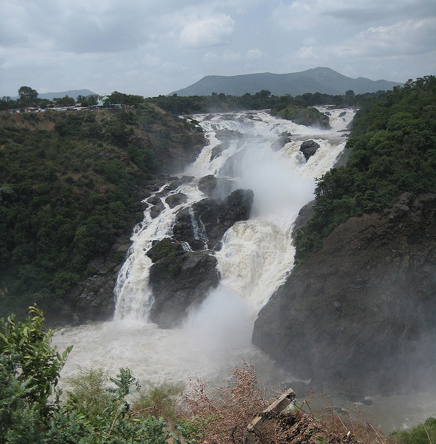
Barachukki Falls is the smaller of the two waterfalls at Shivanasamudra. It falls from a height of about 69 mts. The Barachukki fall is about 1 km from its twin Gaganachukki falls and is like a jagged cascade where one edge is U- shaped. However the water flow is more smooth and graceful here due to less stone boulders and shallow spots where one can swim.

At the bottom of the Barachukki falls one can enjoy a coracle ride, when the flow of water is stil heavy. The spray of water hits your face as the oar man twirls the boat around creating a dizzying experience.

Gaganachukki Falls

Location

Gaganachukki Falls is the biger of the two waterfalls at Shivanasamudra, shaped like a large horsetail falling from a height of 98 meters.

The water is used for Asia’s first hydro electric power project that was established in 1902. It was earlier called as Shri Vishveshwaraya Hydroelectric Plant but was later remanamed as Shimsha Power Grid. The power project was commissionesd by Diwan of Mysore Shri K Sheshadri Iyer to power the Kolar Gold Field and is functional even today. There is a dargah near the Gaganachukki waterfall.

Pollibetta

Location

This town is a mountainous agricultural region. The place is known for the best coffee estates. The estates are located on the Pollibetta and Ammathi Road. High quality coffee seeds are produced in this estate. Along with coffee oranges and pepper is also grown. If coffee is missing then they are filled with rice fields.

In between the coffee plantations are mixed tall trees which are used as shade trees for the coffee plants. An old fort and a Buddhist temple are also located in this town. The whole town is green, beautiful and very cool.

Sangam

Location

Sangam is a spot 3 km away from Srirangapatna where the other branch of the river Cauvery - Loakpavani is reunited in jubilant enthusiasm. The Sangam is otherwise known as the confluence of rivers. It is located near a temple. A dip in the Sangam is considered to be holy. There is a common belief among people that their sins can be washed away by this holy dip.

This is an admired picnic spot and is a exquisite place. From here the river Cauvery flows into the Mettur Dam in Tamil Nadu.