Supa Dam
Location
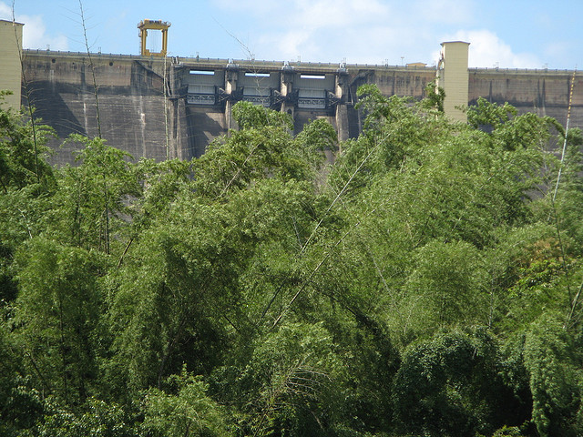
Supa Dam is near about 25 Km from Dandeli City. This Dam used to produce Electrical power under KPC.
Topic
Supa Dam is near about 25 Km from Dandeli City. This Dam used to produce Electrical power under KPC.
This is one of the most famous tourist spots in the region and is a must-visit while on a tour to Dandeli. This point is located at a distance of about 25 km from the city and is within the Dandeli Wildlife Sanctuary. It is believed to be the highest point in the area.
The peak is called the sunset view point and it offers excellent view of the peaks located in the Western Ghats. It is a much visited spot. Tourists can also get a fascinating view of the Dandeli Wildlife Sanctuary from this point. The majestic Western Ghats are also visible from Shiroli Peak.
Syke's Point is named after a British engineer who discovered it. It is a breath taking view from this point where you can see deep valleys, thickly forested hills and the most enchanting Nagajhari river flowing into the Kali. This is one of the finest view of the river you can see anywhere in Karnataka. It is lovely to watch the sunset from here or see the giant horn-bills gliding effortlessly from one side of the valley to the other.
Lifeline of the south, Cauvery bubbles up from Talacauvery and reaches ground level at Bhagamandala, 39 kms to the west of Medikeri. One of the seven major rivers of India, Cauvery is the ' Dakshina Ganga' or ' Ganga of the south'.
A great place to cuddle up for the night. This 2.5 sq. km. large island in the middle of the River Cauvery is some place to romance.
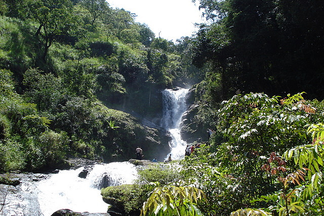
The Irpu Falls, also known as the Lakshmana Tirtha Falls, are located in the Bhramagiri Range and is a fresh waterfall 60 m high. Amidst thriving green Western Ghats, Irupu falls is a major tourist attraction as well as a pilgrim spot. The river Lakshmana-tirtha flows nearby and it joins the Kaveri River at a later part.
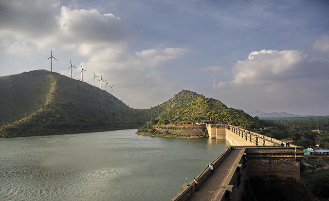
Vani Vilas Sagar Dam (Manrikanvie) 32 kms from Chitradurga, this is an artificial lake, also called Mari Kanive, built by the Maharaja of Mysore Sri Krishnaraja Wodeyar IV built across the river Vedavathi.
Jogimatti 10 kms south of Chitradurga is this hill resort, situated at a height of 3803 ft. (The highest point in the district). The place is named after a yogi, who was well known for his social service. Himavatkedra, a waterfall that flows through the rocks, has created a natural cave, that has a Shiva Linga and idols of Veerabhadra and Basavanna.
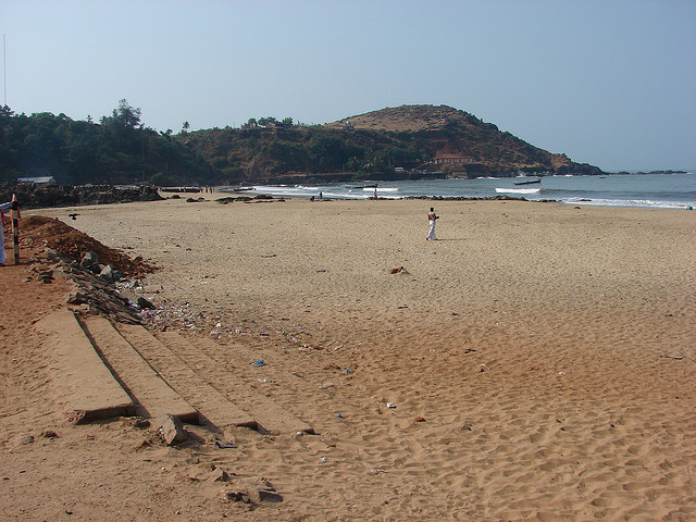
Gokarna Beach is the close to Gokarna town and is reachable by road. The way up to the winding path that leads to Gokarna is a scenic one, with the rocky mountains and Western Ghats on one side and the Arabian sea on the other.
Half Moon beach is a smaller and lesser-known stunning beach near Gokarna. Half moon beach and Om beach are separated by a cliff, in which one can experience a wonderful climb along the sea face. There is one hut on this beach, which also turns into a paddy field in the monsoon season. Classical Indian village-like huts are spread over a small area bordering the beach.